The Cost-Benefits of Data Collaboration
One of the biggest challenges facing county and state transportation departments is how to make their road and highway data accessible to different divisions within their organization. When organizations don’t have the right tools to share data, it can result in the same or similar data being collected by different divisions. This can cost organizations time and ultimately money, forcing them to perform additional collection efforts when the data may already be available within an agency, but not easily accessible by other staff divisions.
One way to solve this challenge is through data management. While a data management system might seem costly and complex, an experienced consulting team can provide a practical and cost-effective solution that fits the needs and budget of an organization. Mandli Consulting Services offers guidance and can suggest solutions on how to get the most out of your data so everyone in the organization is able to access it, view it, and use it for planning purposes.
Mandli’s Consulting Services team recently worked with both Utah and New Mexico DOTs to develop customized solutions for their data management needs.
Utah Department of Transportation (UDOT)
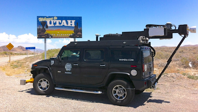 Utah’s Department of Transportation (DOT) wanted to set up a system that would allow its different divisions to be able to collaborate in collecting and sharing road and highway data. That is, once data was collected, it could be available to everyone.
Mandli’s Consulting Team worked with Utah officials in multiple departments to assist with implementing this department-wide collaboration, using previously collected Mandli data. Having performed three statewide collection cycles since 2012, Mandli’s data, combined with this project with UDOT, contributed to the development of the UPlan ArcGIS Online Portal. The UPLAN portal was designed as an accessible interactive mapping platform to help staff across the DOT visualize their data and track their assets for planning purposes.
To make UPLAN a reality, Mandli worked with UDOT’s GIS Department to use the collected data to identify changes and required updates in their LRS Centerline layer. Utah personnel, HPMS Reporting Division, are able to use year-over-year GPS collection traces to identify route segments where additional lanes have been constructed between collection cycles.
UPlan is now being referenced by FHWA as a suggestion for states for statewide data collection and roadway inventory.
New Mexico Department of Transportation (NMDOT)
NMDOT recently completed the second stage of a multi-phase project with the overall goal of implementing a linear referencing system to satisfy FHWA’s ARNOLD requirements.
Phase 1, completed in 2016, focused on the collection and development of an initial road network from multiple data providers. Mandli collected about 15,000 miles of data which included imaging, positional, pavement data using LiDAR, and the Laser Crack Measurement System (LCMS) to calculate faulting, distress, IRI, and rutting.
Phase 2, completed in August of 2018, involved establishing Esri’s Roads and Highways Linear Referencing System as the new recording system for the DOT. Mandli was tasked with establishing this new system. Our team performed all cleanup, migration, calibration of the initial network, and system implementation tasks. The new RIS (Roadway Inventory System) now serves as the foundation and integration point for other systems including Road Inventory, HPMS reporting, and so on.
With the completion of Phase 1 and 2 complete, NMDOT has continued to use Mandli’s Consulting IT Services. We have been asked to work with NMDOT staff to ensure the RIS is operating to its fullest potential and employees are able to get the most of out of the system and their data.