High-Definition Digital Maps

Autonomous Vehicles (AVs) need an enormous amount of data to navigate.
One key component can help make navigation safer:

DIGITAL MAPS

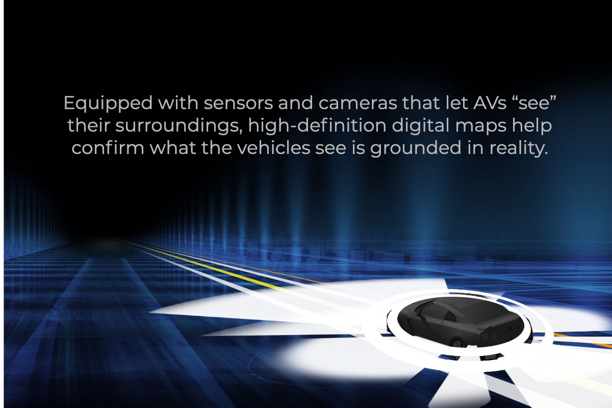


Equipped with sensors and cameras that let AVs “see” their surroundings, high-definition digital maps help confirm what the vehicles see is grounded in reality.
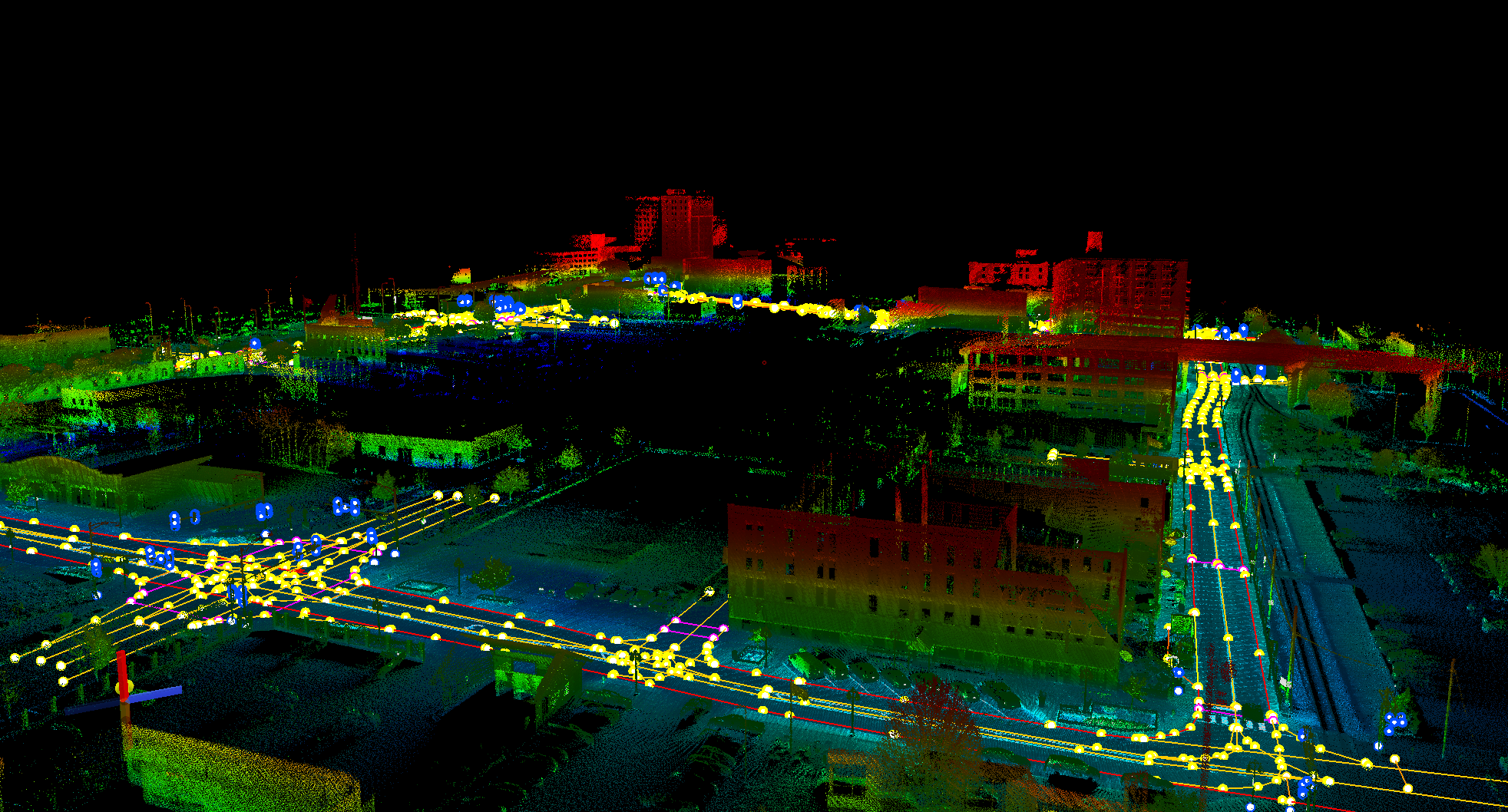


With an eye towards helping ensure safer interactions between AVs and their environment, Mandli is using its considerable technical knowledge and experience in assembling road data to create high definition (HD) digital maps.
With our innovative mobile mapping solution, Mandli-built HD maps offer the following advantages:
- HD maps of a particular location can be created and delivered in 6-8 weeks* of the data being collected (collection is weather dependent).
- We can provide Highly Automated Driving (HAD) or Autoware-compliant maps for testing AVs in any area, urban or rural.
* Data collection for maps is affected by weather conditions and can take longer in cold or poor weather conditions. For some locations, Mandli has the data on hand and can produce maps in as little as 2 weeks.
HD Autoware Maps
Mandli has partnered with AutonomouStuff to create Autoware-compliant high definition maps. Autoware maps provides an enormous amount of detail, and with great accuracy, to allow autonomous vehicles to navigate safely.
One key advantage offered by Mandli’s Autoware maps is that customers can get maps of a specific geography within weeks. That means, if a company wants to test an AV in a particular area, they can request and get an Autoware maps of that area.
Maps are Autoware compliant.
Standard map elements in an Autoware Map include:
- Road Boundaries and Curbs
- Stop Bars (ex: stop sign, yield sign, or traffic signal)
- Regulatory Signs (ex: stop sign, yield sign, speed limit sign)
- Traffic Signals
- Pedestrian Crossing
To learn more about Mandli’s HD Autoware Maps, please contact “AutonomouStuff” -> include name & email of sales rep
Mandli is an Autoware Foundation Partner along with other members such as Intel and Hitachi. This partnership enables Mandli to collaborate development with research and further work with other companies towards the goal of enabling safe and reliable autonomous driving technology for everyone.
HAD Maps
A core component for translating the real-world to AV systems is the Highly Automated Driving (HAD) map, also known as a base map. This map is the foundational layout of the real-world necessary for AVs as they learn to navigate on roads.
Mandli provides the following information in the HAD map
· Physical features, such as where it is and where it is not possible for an AV to drive.
· Operational features, such as speed limits.
The map is the best sensor the vehicle has for navigating effectively on roads and through intersections. An initial implementation of a base map for autonomous vehicles may simply contain static information about the lanes of travel for a given roadway.
For more information about HAD maps, please contact -> Mandli sales