Assets for Cities and Counties
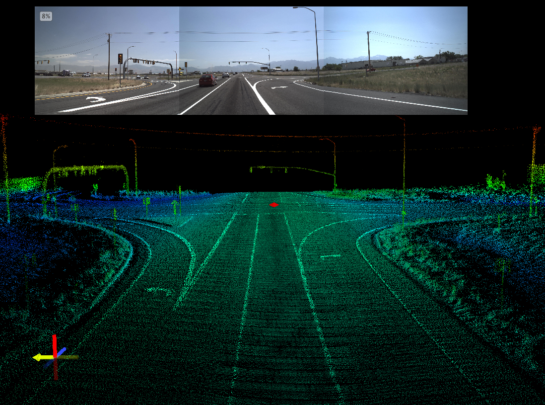
Mandli’s Asset Collection - Scaled for Cities and Counties
Cities and Counties need accurate and reliable roadway data, without having to manually collect their asset information. Manual collection provides limited functionality and produces data that can never be reprocessed, or checked for quality and accuracy. This forces department staff to have to consistently send people into the field to recollect the data, costing more time and money over time.
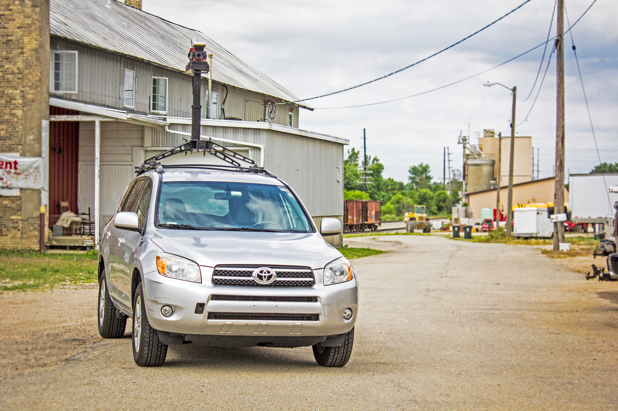
Mandli Communications has the capability to collect asset information in a single vehicle pass at posted speeds. Over the last 35 years, Mandli has built extensive toolsets around our mobile mapping data, and we continue to adapt and extend these toolsets for the city and county market. We can provide all of your assets with a quick and cost-effective solution that is not only progressive for the city and county market, but among DOTs across the country. The up-front collection cost balances out as city and county staff can continue to use the data across multiple departments.
“The work completed by Mandli Communications has given us the data needed to identify ongoing asset maintenance and improvement needs. The intersection signing and guard beam data alone saves us time and money from having to manually go out into the field to verify conditions and locations.” Jon Johnson, Eau Claire County Highway Commissioner
Asset Collection Packages
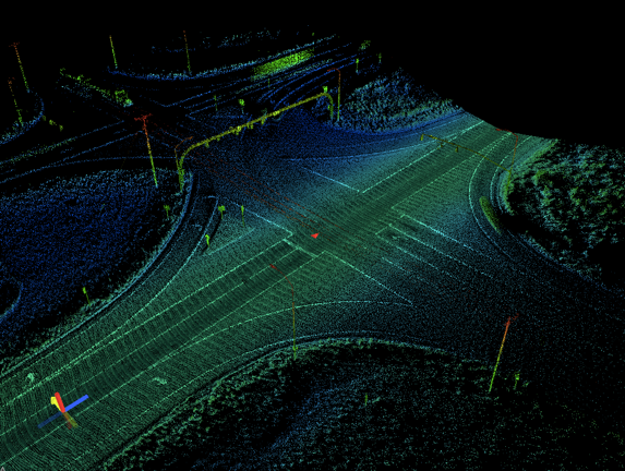
Mandli’s Mobile Mapping system collects high-definition, 3D representations of the surrounding environment in a 360-degree field of view. By gathering both range and intensity information we are able to provide a more accurate, consistent, and repeatable inventory of roadway assets, impacting pavement, safety, design, maintenance, highway, public works, and structures groups.
[supsystic-price-table id=8]
For more information about the assets Mandli can collect for your city or county, please reach out to one of our representatives.
Benefits of Mandli Asset Collection
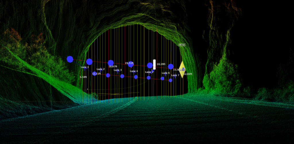
Accurate and Repeatable Dataset
Mandli delivers pictures along with a full point cloud. This gives staff the ability to verify the data accuracy and actually go into the data and drive the routes from their computer anytime they want, without having to leave the office.
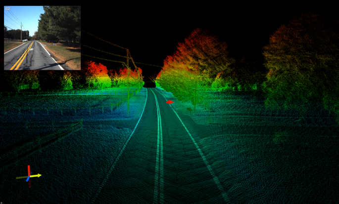
Real-world 3d view
Nearly anything that can be visually seen from the vehicle can be accurately located and identified within the point cloud. Any point can be geo-referenced for a “real-world” 3D view that enables the inspection of assets in an accurate virtual environment.
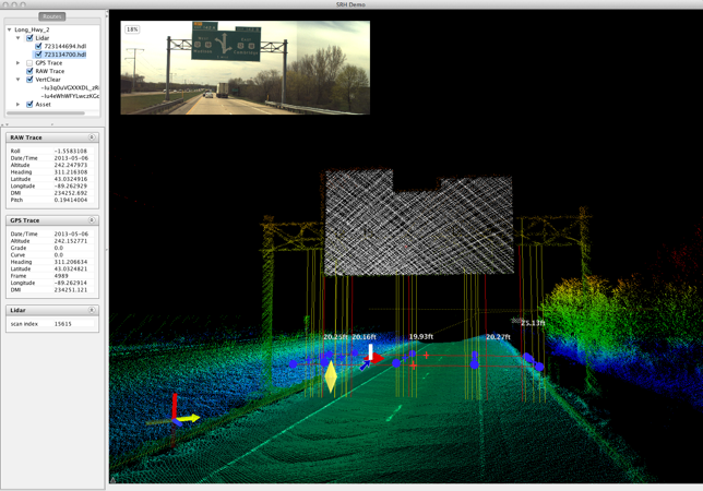
Data Can Be Re-examined
Street signs, bridges, guardrails, utility poles--all of your assets are fully visible and accurately represented for you to analyze and inventory. LiDAR data can be mined for further assets that are identified at a later date.
GIS Compatible
All of our images are compressed into JPEG format and can be easily imported into other applications for reporting and presentation purposes. All images are also geo-coded and linear referenced, allowing all data to be seamlessly brought into third-party software, such as ESRI ArcGIS, Cartegraph, Agile, and Deighton.
Experience
Mandli utilizes best practices, giving cities, counties, and state DOTs the same level of asset management. By utilizing our vast reservoir of experience, we are able to plan, collect, and deliver accurate data for your entire roadway network.
Maintenance & Rehabilitation Plan
Staff have readily available asset information for planning and operations purposes. The data is verified as accurate and repeatable, and personnel across multiple departments have a strong confidence when using the data.
