ADA Ramps
Location and Condition Assessment

Cities, counties, and regional planning groups face an increasing need for accurate and reliable ADA ramp data to ensure they meet state and federal compliance requirements. Right now, most ramp information is manually collected. Manual collection can get some information, but often provides limited functionality and is very labor-intensive.
Mandli Communications can help with ADA ramp assessments. We have the technology to locate ramps and provide other information that can be used to determine which ramps may need a more in-depth manual inspection.
ADA Ramp Assessment
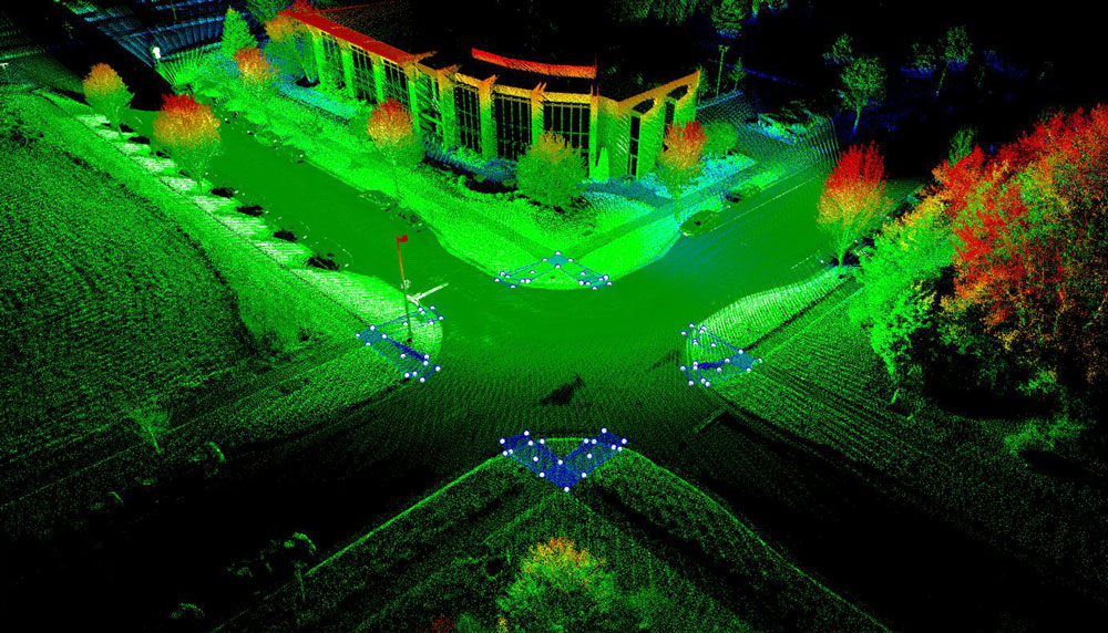
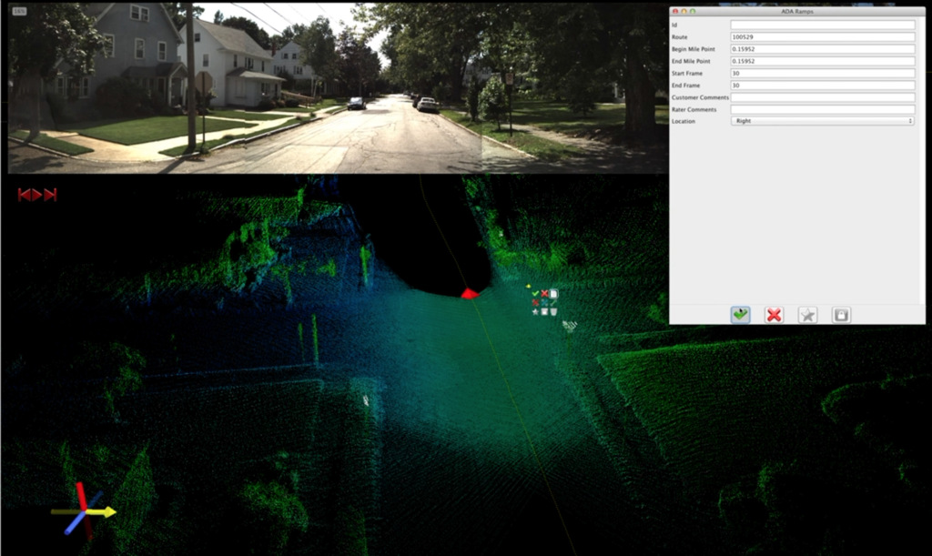
Using a Mobile Mapping System, Mandli Communications is able to provide an inventory and assessment for ramps in your network. This includes the geo-location of the ramp, attributes of the ramp, and a condition rating.

Mandli Mobile Mapping
Our Mobile Mapping System combines LiDAR sensor technology, GPS, and 3D imaging to deliver accurate, geo-referenced data with a quick and cost-effective solution. The system collects high-definition, 3D representations of the surrounding environment that are ideal for mapping and design on a network scale.
The delivered LiDAR point cloud provides an interactive 3D representation of the roadway corridor with a range of 100m and ±2cm @2 sigma range accuracy. Each data point in the LiDAR point cloud includes XYZ coordinates and intensity values as attributes. Any point can be geo-referenced for a “real-world” 3D view that enables the inspection of assets in an accurate virtual environment eliminating the need to travel to remote sites, greatly improving efficiency and safety.
For more information on how Mandli can customize a solution to fit your ADA ramp assessment needs, please reach out to one of our representatives.
