The Versatility of Digital Models
Providing Powerful Insights for the Real World
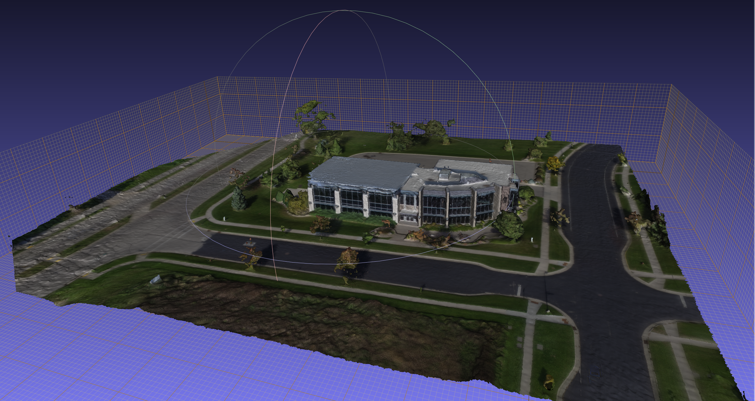
In many industries, it’s not always possible to test certain solutions or ideas in a practical setting. That’s where a digital model can help provide critical insights.
Say, for example, you’re a city planner in a major metropolitan area. One challenge before you is to figure out if there is a way to create pedestrian routes along congested downtown intersections so that both traffic and people can move more efficiently during rush hour. Trying different scenarios with people and traffic on the ground would be impossible. But with a digital model of the downtown area and the intersections, you could safely test different solutions using an actual model of the area.
Digital Models in the Transportation Industry
Digital models – sometimes referred to as Digital Twins – are used in many industries, including the transportation industry. Whether you’re working with roads and highways, airport runways, or are looking to prepare your roads for connected and autonomous vehicles, digital models are beneficial.
Mandli’s Digital Modeling Capability includes:
- Intersection Models for digital terrain mapping and intersection geometry
- Road Surface Models for 3D pavement mapping
- High Definition (HD) maps that enable Automated Driving Systems
- 3D Texturized Models to provide color and additional visual appeal to a Base Map
- Off-road paths and trails models
- Models of buildings and other infrastructure
- Landscape models of forests and parks
Digital Intersection Models
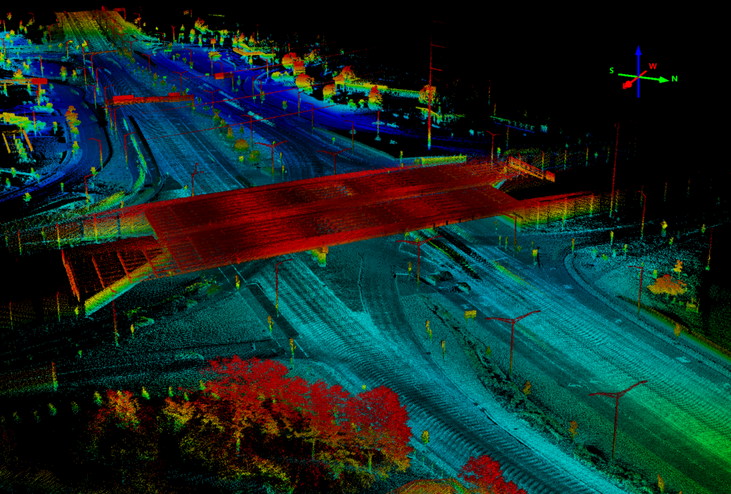
With collected images, positional, and LiDAR data, Mandli is able to produce an intersection model in two formats.
- Digital Terrain Model (DTM) – an accurate aligned point cloud of the intersection with transient objects removed, such as vehicles, pedestrians, and other moving objects.
- Intersection Geometry – a map of the intersection that charts where vehicles can drive, such as lanes, edge of the road, and other allowable maneuvers.
As an example, these digital models have been used to simulate the safe passage of autonomous vehicles through intersections, helping reduce the percentage of collisions that occur.
Digital Road Surface Models
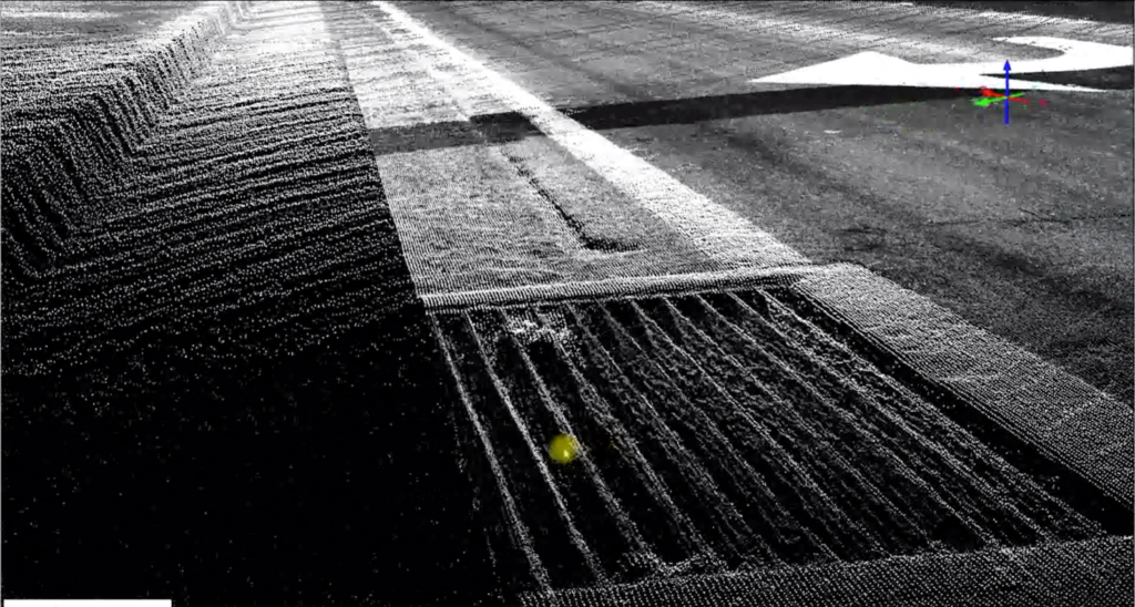
With high-resolution downward images, collection technology detects road edges, lane markings, and curbs for Laser Digital Terrain Mapping (LDTM). This enables Mandli to perform highly detailed and accurate 3D pavement mapping.
LDTM provides customers:
- Slope, curvature, and crossfall measurements so roadway designers can use the information for an as-built digital model rather than relying on traditional survey.
- The ability for airport runway assessment managers to analyze Pavement Condition Assessment (PCA) at their computer with accurate GPS location tied to cracks and anomalies.
Digital Base Maps
A core component of translating the real world to autonomous vehicle systems is the base map, also referred to as a highly automated driving (HAD) map. For autonomous vehicles (AV), the base map is the foundational layout of the real world.
Information in the base map may include:
- Physical features, such as where it is and where it is not possible for an AV to drive.
- Operational features, such as speed limits.
The map is the best sensor the vehicle has for navigating effectively on roads and through intersections.
3D Texturized Models
In addition to the creation of base maps described previously, this collected data set can be used to generate a virtual environment. With LiDAR data, Mandli can overlay meshes onto the base map. Meshes are connected data sets that overlay onto the base map. One example is with a collision mesh, the virtual environment is able to simulate collision of the vehicle with the terrain by linking the crash data and the environment.
There are multiple options for creating contact geometry to be used in the simulation. These options include:
- manually creating the contact mesh.
- generating a high-density mesh from sensor data.
- generating a contact mesh based on a height-field bitmap input.
Digital Off-Road Models
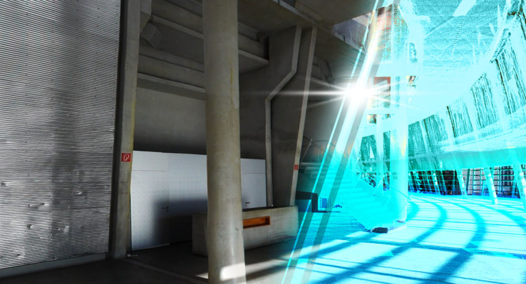
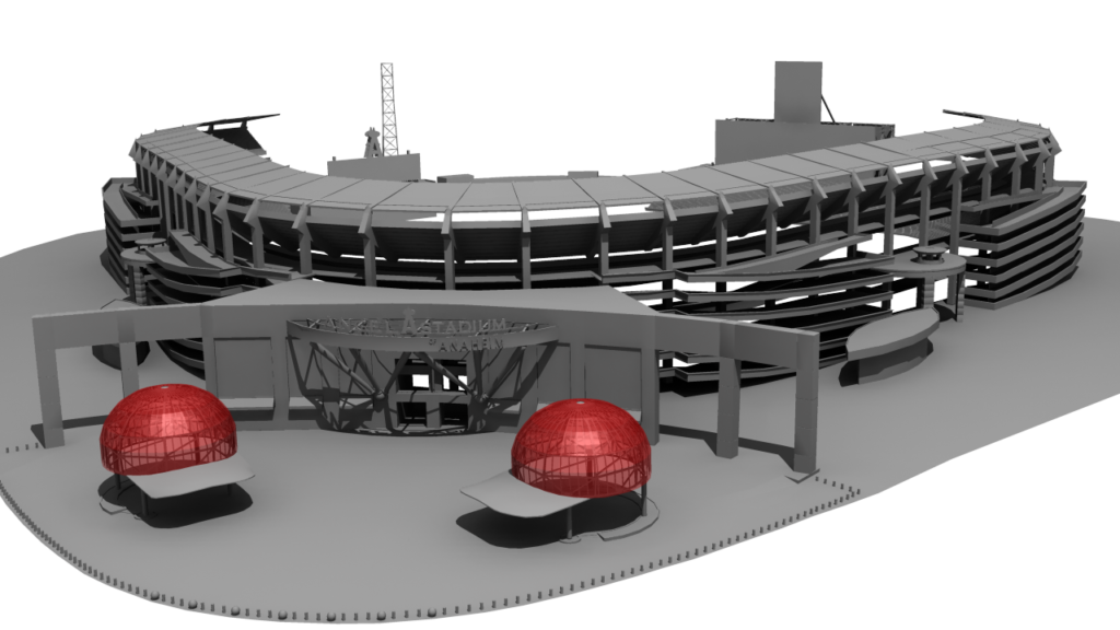
Digital Models for Commercials/Entertainment – With LiDAR data, Mandli created a digital model of the Angel Stadium in Anaheim. This digital model was used for promotional commercials and other entertainment purposes.
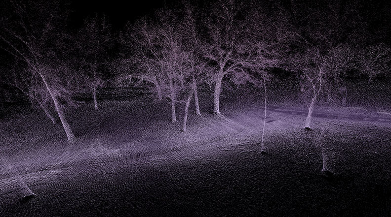
Forest and other Landscape Models – In one instance, a city needed to cut down trees in a park because of an infestation. Mandli was asked to create a digital model of trees in the park. The company wanted to visually look at the trees and decide which of them could be harvested and used in a commercial building. With the complete data set of the park, Mandli created a digital inventory of trees in the park that served an online catalog of trees.
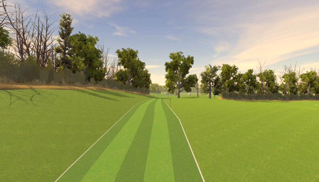
Paths and Trails Models – Mandli used its portable LiDAR technology to create a high-definition geospatial model of a NCAA cross country course for analysis. The emerging geospatial model is also being considered as a part of an app that could be used by spectators with smartphones on race day, to track the runners in real time as they traverse the 10,000-meter course.
For more information on how Mandli can customize a solution to fit your modeling needs, please reach out to one of our representatives for more information.
