Florida DOT
Remote Sensing and Mapping Solutions for Transportation Data Collection
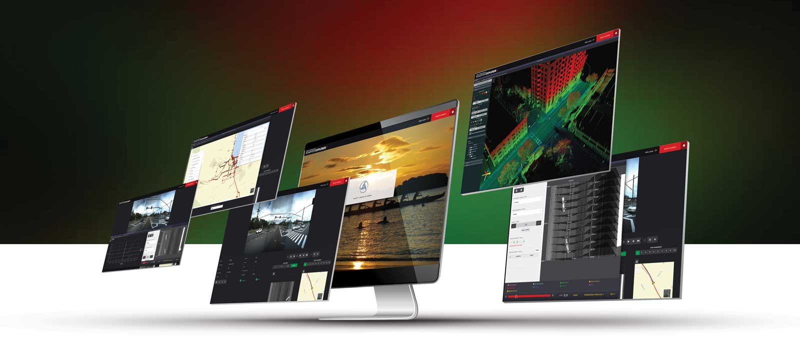
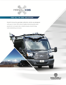
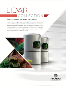
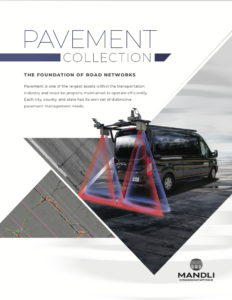
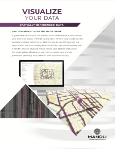
Access to usable data can help DOT staff in different divisions across the organization. With LiDAR pavement, and photolog datasets, Mandli Communications is able to identify and provide information on assets that is useful for planning, safety, reporting, and maintenance needs.
Type of Information we Provide
In general, below is the type of information we can provide:
- Type of sign (ex: MUTCD Code description)
- Physical condition of the sign face and assembly
- Overhead sign location and support type
- All attributes of the sign face and the assembly
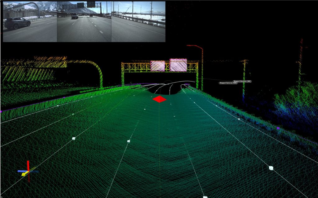
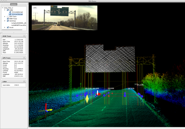
Among the details we provide:
- MUTCD code with a description of the code type, such as “speed limit”
- Height and width of the sign face measured in inches
- Condition of the sign rated as good, fair, or poor
- Position of the sign on the roadway, such as “left, median, overhead, right, T-intersection, or other”
- Type of sign backing, such as “flatsheet or extruded”
- Sign legend for information on non-standard state DOT MUTCD signs
- Type of sign, whether it is metal, wood, or another material
- Number of signs assigned to a single assembly, and how many are in your total dataset
- Mount type for each sign
- Mount material for each sign, whether the mounting is metal, wood, or another material
More Resources:
Caution: This file is very large. If you know what section of the presentation you need, you can email Amir Zaman at azaman@mandli.com
For more information on how Mandli can customize a solution to fit your agency's needs, please reach out to one of our representatives for more information.
